Trail Walking Santa Brígida - Cratère de Bandama (Gran Canaria) - Photo

Cratère de Bandama (Gran Canaria)

 dauzata
dauzata

User

© OpenStreetMap contributors
Length
Length
6.5 km
Max alt
Max alt
486 m
Uphill gradient
Uphill gradient
429 m
Km-Effort
Km-Effort  
12.2 km
Min alt
Min alt
228 m
Downhill gradient
Downhill gradient
430 m
Boucle
Boucle
Yes
Creation date :
2022-10-16 10:06:22.0
Updated on :
2022-11-21 20:31:19.726

(0 Reviews)

Walking
Walking
2h25
Difficulty : Medium

Scan this QR Code to open this trail in the SityTrail application

FREE GPS app for hiking

Logo SityTrail SityTrail

IGN / Geographical institutes

Download SityTrail from the App Store Download SityTrail from Google Play

Logo SityTrail SityTrail World

The world is yours!

Download SityTrail from the App Store Download SityTrail from Google Play Download SityTrail on Huawei AppGallery

About

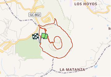
Trail Walking of 6.5 km to be discovered at Canary Islands, Las Palmas, Santa Brígida. This trail is proposed by dauzata.

Description

Départ: Parking du golf de Bandama
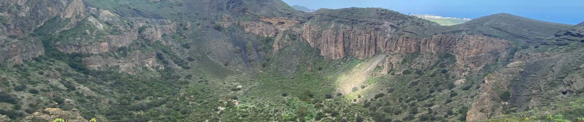
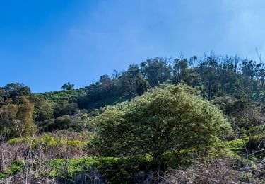
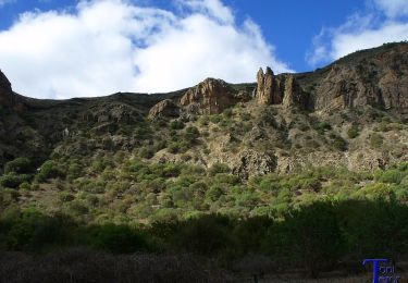
Elevation profile

Photos

Positioning

Country:
Spain
Region :
Canary Islands
Department/Province :
Las Palmas
Municipality :
Santa Brígida
Location:
Unknown
Start:(UTM)
454803 ; 3100799 (28R) N.

Trails nearby

Trail On foot Santa Brígida - Camino Pál Pino de Santa Brígida a Teror - Photo
On foot
PRO

On foot

Easy
Santa Brígida, Canary Islands, Las Palmas, Spain
3.3 km | 5.5 km-effort
1h 14min
No
Trail On foot Santa Brígida - Camino Borde de Caldera - Photo
On foot
PRO

On foot

Easy
Santa Brígida, Canary Islands, Las Palmas, Spain
3.5 km | 6 km-effort
1h 21min
Yes
Trail Walking Las Palmas de Gran Canaria - GrC_63_Bandama-Krater - Photo
Walking
BureauChris

Walking

Medium
Las Palmas de Gran Canaria, Canary Islands, Las Palmas, Spain
3.3 km | 6.6 km-effort
1h 29min
Yes


Close
My subscriptions